
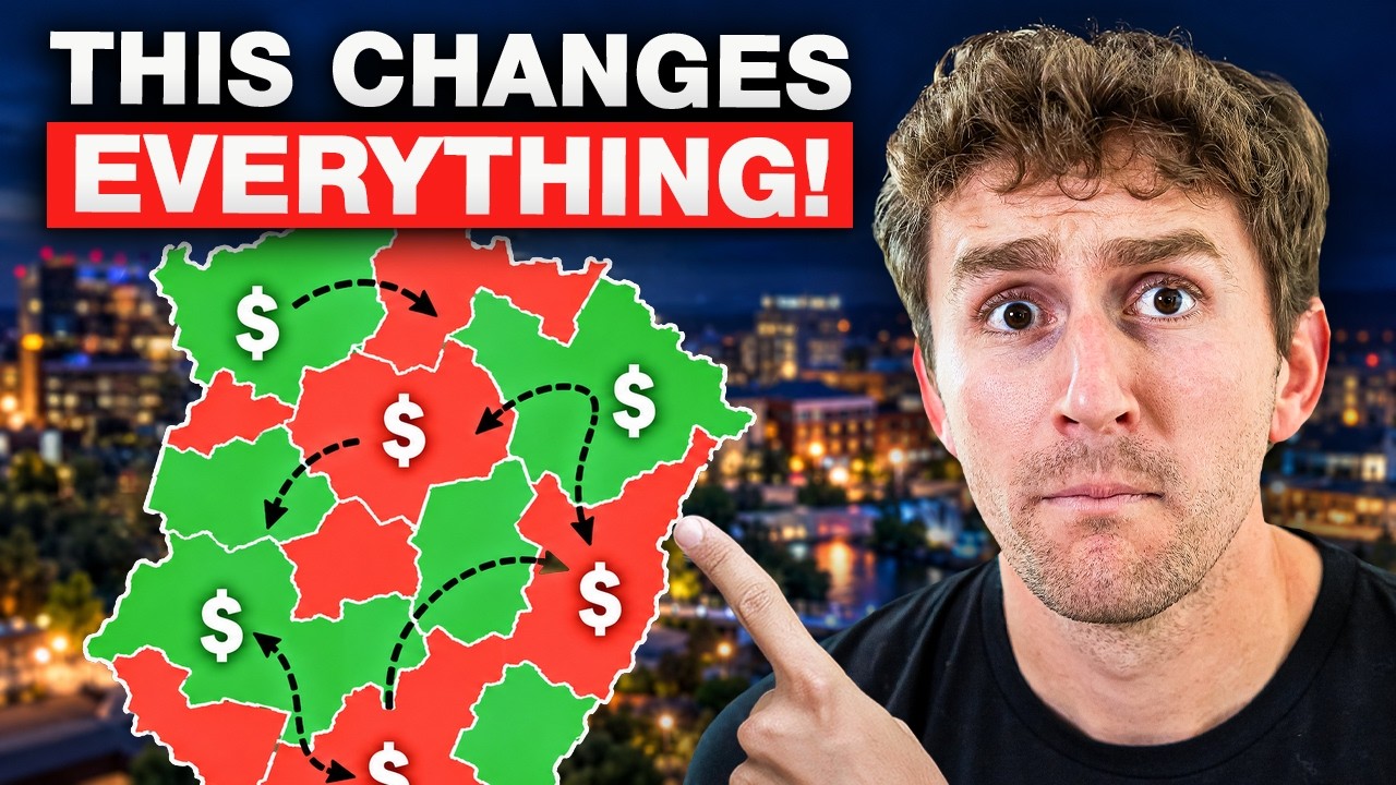
Quick Answer: Are Greenville’s FEMA flood maps changing, and could a flood zone affect my home’s value?
Greenville County still sends homeowners to FEMA flood maps that took effect May 4, 2021. FEMA can also change a piece of that map with a Letter of Map Revision (LOMR), and Greenville had LOMRs take effect in both 2025 and 2026, so the date printed on a PDF panel isn’t the whole story. The City of Greenville has its own floodplain map, effective March 11, 2024. That map handles permits and building standards, but it doesn’t set your flood insurance. On value, an earlier study found homes newly mapped into a FEMA flood zone lost more than 11% of their value. The best recent peer-reviewed national research estimates an average discount of about 2.8% for properties inside FEMA’s Special Flood Hazard Area, and the effect varies by market. Any flood effect here is going to be hyper-local, so the only way to know how much this affects you is to pull the panel on your actual address.
Watch the Video
Here’s the whole breakdown, covering the flood maps, what changed, and what a flood zone could do to your home’s value when you go to sell:
Which FEMA flood maps is Greenville County using right now?
The dates are where folks get tripped up.
Greenville County’s floodplain office still sends homeowners to the 2021 FEMA Flood Insurance Rate Maps. That’s where you go for your zone, your base flood elevation, and any Letters of Map Amendment on your property. The county’s own flood ordinance says the same thing: it adopts FEMA’s Flood Insurance Study dated May 4, 2021. Those 2021 maps replaced the panels the county used before them.
That’s more than 5 years of homeowners who may have never checked.
FEMA doesn’t have to reprint a whole map panel to move a line on your street. It can change a piece of the map with a Letter of Map Revision, or LOMR. A LOMR comes as a letter with its own mapping attached. Your parcel can be sitting under a revision that came out long after that panel did. Greenville had LOMRs take effect in both 2025 and 2026, and Greenville County’s flood ordinance adopts issued LOMRs.
Those lines keep getting nudged, one parcel at a time, every time FEMA sends out a revision letter.
What do the flood zone letters on the map actually mean?
The letters on that map do a lot of work.
- Zone A and Zone AE are your high-risk zones. FEMA gives those spots a 1% chance of flooding in any given year. AE means FEMA did the detailed study and set a base flood elevation for it.
- Zone X is the lower-risk bucket, and it shows up 2 ways. Shaded Zone X generally covers the 0.2% annual-chance area and some shallow 1% flood areas. Unshaded Zone X indicates minimal flood hazard outside the 0.2% annual-chance floodplain.
You’ll hear people call the high-risk zone the 100-year floodplain. That phrase has fooled a whole lot of homeowners. It never meant once a century. FEMA’s own math says a house in that zone has about a 26% chance of flooding over a 30-year mortgage.
How is the City of Greenville’s floodplain map different from FEMA’s?
The city map works differently.
Back in early 2024, the City of Greenville put out its own floodplain map. It came out of a citywide flood study, part of the city’s Stormwater 2.0 work, and the city’s GIS lists that study as effective March 11, 2024. City engineering said the new map shrinks the total floodplain acreage, and that the folks it hits hardest are developers trying to build.
That city map handles permits and building standards. It doesn’t set your flood insurance, and knowing that saves people money.
So you’ve got 2 questions living at your address:
- Is the house inside a FEMA high-risk area for insurance and lending?
- Is the lot inside the city’s floodplain for permitting?
What I’m seeing is homeowners figuring one map covers both. It doesn’t. And that gap tends to show up at the worst possible time, with a buyer and a lender sitting right there at the table.
Before we write an offer, we pull the effective FEMA map, and we go over the negatives of buying a home in a floodplain. I do the same check on the listing side before I ever put a price on a house
Did Helene change Greenville’s flood maps?
In late September of 2024, Helene came up through the Upstate. NOAA called it extreme rainfall and catastrophic inland flooding across the southern Appalachians, and the ground was already soaked from the rain that came before it.
The Reedy runs right through the middle of the city, and it took a beating. Two years later, crews are still out there working on it. In September 2026, they started pulling around 25,000 cubic yards of Helene debris out of the Reedy between Falls Park and Mauldin Road. A federal grant is helping pay for it. All that debris can restrict the river’s flow and add to the flood risk the next time we get a hard rain.
Helene caused major flooding in western South Carolina, including parts of Greenville County, and it changed how a lot of people here think about inland Upstate risk. Fathom also projects South Carolina’s average annual population exposure to flooding will increase 162% from 2020 to 2050.
But Helene did not redraw Greenville’s FEMA maps.
FEMA changes a map through a whole mapping process. The water data, the ground data, the community data, all of it runs through their mapping procedures. Then comes a preliminary map. Then comes a window where folks can appeal. Then a Letter of Final Determination. A new countywide map normally takes effect about 6 months after that letter.
What Helene did was prove what we’re exposed to. As of September 2026, Greenville County still identifies May 4, 2021 as the effective date for its countywide FEMA maps.
Is flooding a big concern for Greenville homeowners?
I’ll be straight with you. Flooding isn’t a big issue in our area, even if it can be a big issue at the wrong address. Everybody asks about it, and hardly anybody around here buys a home on a floodplain.
The stretch of the Reedy running through the city core, including the ground over near Cleveland Park, is where heavy rain might show up first. That doesn’t make every home near a park a flood zone home. These calls are address-specific and house-specific, right down to where the building sits.
The National Weather Service developed a flood warning system for areas in the Reedy River and Richland Creek floodplains, and the city directs residents to it. That tells you something about where the water likes to go.
If you’re near either one, ask about more than the house:
- Does the road you take home cross a low bridge or a creek?
- Where does the HVAC equipment sit?
- What does that crawlspace look like after a hard week of rain?
One thing Helene settled for good: Greenville is inland, sure, but that doesn’t mean we’ve got 0 hurricane risk, and anybody telling you otherwise wasn’t here for it. Is it likely we have another storm event like that in my lifetime? Probably not. Helene was a storm that neither I, my parents, nor my grandparents had seen in our lifetimes, so take that danger with a grain of salt.
How much can a flood zone affect a home’s value?
An earlier study found that homes newly mapped into a FEMA flood zone lost more than 11% of their value, with no comparable rebound when they were later mapped out.
But the best recent peer-reviewed national research estimates an average discount of about 2.8% for properties inside FEMA’s Special Flood Hazard Area, with the effect varying by market.
The Zillow numbers hold up too, and y’all should know about this one. Zillow tracked homes listed in June of 2024 and followed them over the next several months:
- Of the listings flagged as high flood risk, right about half sold. For the low-risk listings, closer to 7 in 10 sold.
- The high-risk homes that did go under contract took about a month to get there. The low-risk group took a little under 3 weeks.
- The high-risk homes that sold came in around 6% under their first asking price. That’s roughly double the gap on low-risk listings.
One caveat. A higher flood risk score on a third-party platform like Zillow or Redfin doesn’t mean the property is in a floodplain. It likely means there’s a nearby creek increasing the supposed risk. If the house itself sits well above the creek, or isn’t in the downstream path of water from that stream, I’d argue the flood risk is pretty minimal.
Are flood maps moving Greenville home prices right now?
Here’s what our market is doing:
- Greenville County: The countywide average sales price we’re tracking over the last 90 days is right at $401,000. During that same time period last year, it was $402,000. Total sales are up just over 4% compared to this point last year.
- City of Greenville: Inside the city limits, our average sale price over the last 90 days is just over $600,000. In that same time period last year, it was just over $560,000.
What I’m seeing is that in the county, prices are flat though sales are up, and in the city of Greenville, prices have risen though unit count hasn’t moved much. None of that movement is coming from flood maps.
Any flood effect here is going to be hyper-local. It shows up on one creek, one low spot. You measure it against the house 3 doors down, not against a countywide median.
The things that move a flood zone home’s price are specific too:
- Has it actually flooded?
- What does the policy cost?
- How high does the finished floor sit?
- Where does the water go?
A yard that clips the floodplain, with the house sitting high and outside the zone, is a different property than a home with its lowest floor below the base flood elevation. Same neighborhood, same price range, different risk.
How does Risk Rating 2.0 affect what I’ll pay for flood insurance?
This is the part that hits your monthly payment.
FEMA says premium increases are generally capped at 18% a year for most existing NFIP policies until a policy hits its full-risk rate.
FEMA’s April 2025 South Carolina profile still says 97% of policyholders were projected to get an immediate decrease or an increase of $20 or less per month, and 26% were projected to get an immediate decrease when Risk Rating 2.0 was introduced.
But your premium gets built off your building, your coverage, and your flood characteristics, not off the statewide average. So be careful with those numbers.
What does check out is local. Greenville County takes part in FEMA’s Community Rating System, and the county says qualifying policyholders in unincorporated Greenville County get a 15% discount on the full-risk premium.
Watch that word: unincorporated. Your mail can say Greenville while your property sits in the city, in another town, or out in the unincorporated county. Different floodplain office, different treatment.
About 25% of NFIP flood claims in the U.S. come from policyholders in lower-risk Zone X. The version I’d stand behind is simpler anyway. Zone X means lower mapped risk. It doesn’t mean zero risk.
What surprises people about flood insurance at the closing table?
Two things.
Your lender can still require flood insurance after FEMA pulls your house out of the flood zone. That call belongs to the lender, based on how they see the risk. My rule of thumb: if your structure is within the floodplain, your lender will require flood insurance. If the floodplain is on the back of the property, they won’t.
A FEMA determination doesn’t cancel a policy by itself. You take the letter to your lender, get the requirement waived, then work through the insurance company’s cancellation process.
How is flood insurance different from homeowners insurance?
People mash these 2 together.
Flood insurance is a federal program, but its price is now built around the individual property instead of just the FEMA zone.
Your homeowners policy is a whole different product, and those premiums have climbed all over the country. We’ve felt that here in South Carolina too. Your homeowners premium is mostly built on what it’d cost to rebuild the house, not what it’d sell for.
Roof age moves that number too, and that gets expensive for sellers. If your roof is 20-plus years old and you’re getting ready to list, that’s a real problem in this market. Buyers here aren’t settling for that. They’ll ask you for closing cost help to cover a future roof, or they’ll skip your house and go buy the one down the street. Sometimes a new roof is the cheapest money you’ll spend all year.
So think about structure first, flood insurance second.
How did South Carolina’s 2023 disclosure law change appraisals?
This is the piece sellers underestimate.
Back in 2023, South Carolina moved to require that flood history be disclosed to buyers on the residential property disclosure. What that means for you is your water history is a written question now. It’s not a hallway conversation on the way out of a showing.
A 2025 study went through more than 84,400 home appraisals across South Carolina. In the neighborhoods that had already taken over $250,000 in flood insurance payouts, underappraisals ticked up 1.9 percentage points once that disclosure change kicked in.
That study names pockets of Greenville among the high-damage tracts. It never put out a Greenville-only number, though.
The same study found average comparable-sale adjustments came in 50% smaller after the change, and contract prices went up 1.6% in high-damage tracts after the disclosure change. The study didn’t prove buyers paid extra for individual resilient homes, because it couldn’t observe each property’s actual disclosure or flood damage.
What should I do before listing a home that might be near a flood zone?
I’m not building a Greenville pricing strategy on statewide numbers. What I’d hand you instead is a short list.
1. Pull the map panel for your exact address. Get it from FEMA’s Map Service Center, so we know your zone before I price the house.
2. Gather your paper.
- Your completed disclosure
- Any loss or repair records
- Permits
- An elevation certificate, if you’ve got one
- Any Letter of Map Amendment or revision already on file for the lot
3. Look into a Letter of Map Amendment if it fits. If your house sits on natural high ground and the map put you in the zone anyway, a Letter of Map Amendment (LOMA) is the fix. FEMA wants the lowest ground touching your home to sit at or above the base flood elevation. That’s a survey and an application. If FEMA issues the LOMA, it can remove the federal requirement.
4. If you’re building or adding on, know what a conditional letter does. A conditional letter from FEMA isn’t a map change. It tells you FEMA would recognize the project if you build it exactly like you submitted it. If the finished work changes the effective flood information, the community still sends in the as-built technical data, and a LOMR is what makes the revision official.
5. Get a current flood insurance quote on your address before you list. I’d handle this one early. A buyer’s monthly payment math decides your offer, and I’d rather know that number before the market finds it for us.
FAQs About Greenville SC FEMA Flood Maps
What is the effective date of Greenville County’s FEMA flood maps?
As of September 2026, Greenville County still identifies May 4, 2021 as the effective date for its countywide FEMA maps. Individual parcels can be affected by later Letters of Map Revision, and Greenville had LOMRs take effect in both 2025 and 2026.
Does the City of Greenville’s floodplain map set my flood insurance?
No. The city’s map, effective March 11, 2024, handles permits and building standards. It doesn’t set your flood insurance. For insurance and lending, the question is whether the house is inside a FEMA high-risk area.
What does “100-year floodplain” actually mean?
It never meant once a century. FEMA gives high-risk zones a 1% chance of flooding in any given year, and FEMA’s own math says a house in that zone has about a 26% chance of flooding over a 30-year mortgage.
How much does a flood zone lower a home’s value?
An earlier study found homes newly mapped into a FEMA flood zone lost more than 11% of their value, with no comparable rebound when they were later mapped out. The best recent peer-reviewed national research estimates an average discount of about 2.8% for properties inside FEMA’s Special Flood Hazard Area, with the effect varying by market. In Greenville, any flood effect is going to be hyper-local.
If Zillow or Redfin shows high flood risk, does that mean my house is in a floodplain?
Not necessarily. It likely means there’s a nearby creek increasing the supposed risk. If the house sits well above the creek, or isn’t in the downstream path of water from that stream, the flood risk is likely pretty minimal.
Can I get my house taken out of a FEMA flood zone?
If your house sits on natural high ground and the map put you in the zone anyway, a Letter of Map Amendment is the fix. FEMA wants the lowest ground touching your home to sit at or above the base flood elevation. It takes a survey and an application, and if FEMA issues the LOMA, it can remove the federal requirement. Your lender can still require flood insurance based on how they see the risk.
Is there a flood insurance discount in Greenville County?
Greenville County takes part in FEMA’s Community Rating System, and the county says qualifying policyholders in unincorporated Greenville County get a 15% discount on the full-risk premium. Your mailing address can say Greenville while your property sits in the city, another town, or the unincorporated county, so confirm which one applies to you.
Let’s Pull the Map on Your Address
That’s the rundown on the FEMA situation and how it could affect your sale. The only way to know how much this affects you is to pull the panel on your actual address.
If you own a home near the Reedy, near a creek, or anywhere you’ve watched water stand after a hard rain, send me a note at [email protected] or at (864) 688-9738. I’ll pull your zone, tell you what it means for your price, and give you a straight answer on what makes sense.
As always, I'm Will Sawyer, your friend in real estate. Until next time, stay safe.
Check out this article next